Caribbean Islands Political Map · Picture Dictionary · Picture Vocabulary · 14 words
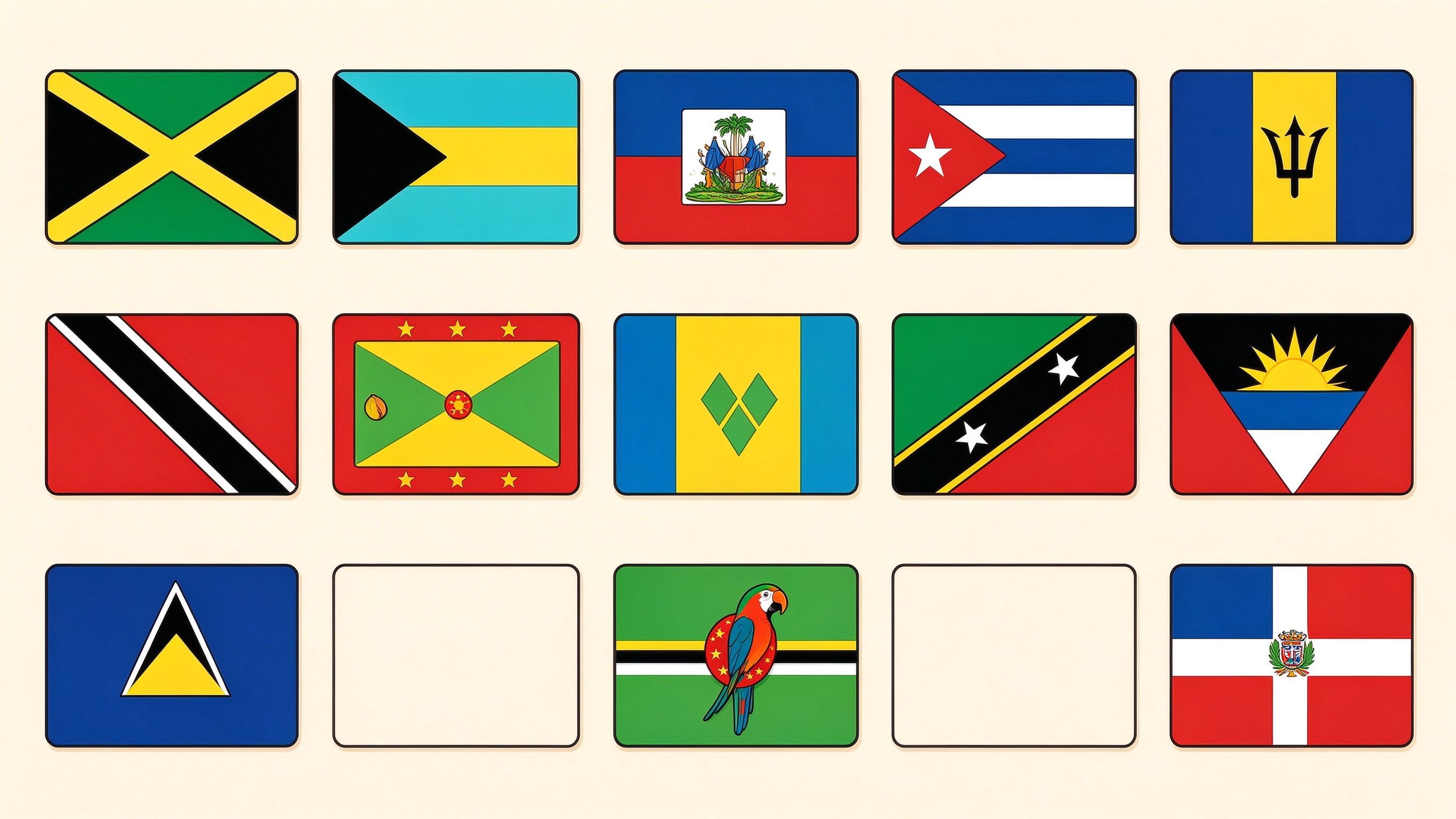
Browse the Caribbean Islands Political Map annotated picture. Every object is numbered and labeled — a clickable picture dictionary with 14 vocabulary words and native audio.
Caribbean Islands Political Map free online picture dictionary: a labeled, clickable scene picture with 14 words (Jamaica, Bahamas, Haiti, Cuba, Barbados, Trinidad and Tobago, Grenada, Saint Vincent and the Grenadines, Saint Kitts and Nevis, Antigua and Barbuda, Saint Lucia, Dominica). Tap each object to hear native pronunciation, with bilingual labels and a printable A4 PDF.
Labeled words in this picture(14)
Caribbean Islands Political Map Picture Dictionary · Jamaica, Bahamas, Haiti, Cuba, Barbados, Trinidad and Tobago, Grenada, Saint Vincent and the Grenadines, Saint Kitts and Nevis, Antigua and Barbuda, Saint Lucia, Dominica, Dominican Republic, Caribbean Islands